The record-breaking 2020 Atlantic Hurricane Season is full of many "firsts" –– the first in which nine tropical storms formed before August 1, for example. Most recently, tropical Storm Marco set a record on Friday for the first time 13 tropical storms formed before September 1. The thirteenth named storm doesn't typically develop until mid-October. But Hurricane Marco, together with Tropical Storm Laura, is poised to set at least one far more staggering "first" record this week.
Hurricane Marco, located some 250 miles SSE of New Orleans, had maximum sustained winds of 75 mph as of 5 PM Sunday and is headed northwest toward the Louisiana coast. Meanwhile, Tropical Storm Laura is situated just off the southeastern tip of Cuba with maximum sustained winds of 50 mph as of 5 PM Sunday and is headed west-northwest towards the Gulf of Mexico.
While these two tropical systems will just miss occupying the Gulf of Mexico at the same time –– a rare feat that has only happened twice before –– they have the potential to break a more daunting record. Never in recorded history have two hurricanes made landfall at approximately the same place at approximately the same time.
Hurricane Marco (left) and Tropical Storm Laura (right)
While the northern Gulf Coast is expected to face powerful wind gusts, torrential rain, widespread flooding, and life-threatening storm surge, the forecasts for Marco and Laura are not yet set in stone. Marco's forecast track only recently took a dramatic eastward shift Saturday after improved data was ingested into weather prediction models, which has led to growing overlap between the two storms and increasingly bizarre cones of uncertainty:
Contributing to this uncertainty are two distinct hurdles that each tropical storm must face before overlapping in the Gulf of Mexico. Hurricane Marco will be trekking through an environment of warm sea-surface temperatures and rich atmospheric moisture, but also of modest wind shear. Wind shear, the change in direction and/or speed of wind with increasing height, disrupts the organization of tropical systems and can lead to weakening when strong enough. Because of the wind shear Marco is currently undergoing, quick intensification before landfall Monday night is not expected. It's likely Marco skirts the southern Louisiana coastline passing close to Grand Isle, LA before moving WNW and passing south of Lafayette, LA as a category 1 hurricane.

Hurricane Marco 8 PM Advisory –– National Hurricane Center (NHC)
Tropical Storm Laura, on the other hand, faces much more challenging hurdles. Laura has been traveling over the rugged terrain of Puerto Rico and Hispaniola since late Saturday and is expected to continue traversing over land until exiting the northwestern Cuba coast Monday afternoon. Land interaction weakens tropical cyclones because it cuts off influx of latent heat from the ocean and the friction slows down their low-level circulation. As such, Laura is not expected to intensify into a Hurricane until at least Tuesday morning. However, it should be noted that so far Tropical Storm Laura has stayed relatively organized despite repeated land interaction –– this is likely due to the favorable upper atmospheric conditions surrounding the storm, and increases the odds of more rapid intensification once over the open waters of the Gulf of Mexico.

Tropical Storm Laura 8 PM Advisory –– National Hurricane Center (NHC)
Since Marco is relatively small in size and moving quickly, it's unlikely that upwelling in the Gulf of Mexico will have cooled surface temperatures enough to impact the future strength of Laura –– in fact it's possible that Marco's passing could actually help Laura intensify more rapidly by increasing the ridging to the north and allowing for less shear over the Gulf by Tuesday and Wednesday.
Marco and Laura Potential Impacts
Impacts for any one place are uncertain but the coastline directly in the path of these two potential hurricanes will undoubtedly face unrelenting life-threatening storm surge for 48-72 hours, with effects beginning Sunday night. Inundation of 3-6 feet or more is possible in unprotected areas across the vast low-lying bayous and marshland of southern Louisiana, including New Orleans. The greatest storm surge will occur east of both storms' tracks. With coastal flooding lasting through Thursday in the areas in the path of both storms, expect significant to severely compromising structural damage in areas unprotected by levees. Boardwalks and marinas will face moderate to severe damage, with some small boats likely being destroyed or lost to the tides. Some coastal roads and bridges will be damaged or destroyed. Evacuations will be likely.
While the strong surf batters coastal areas, life-threatening sustained winds of 50-75 mph and gusts of 70-100 mph are possible across much of southern Louisiana for 18-36 hours starting Monday morning. Marco will strike first, downing trees, damaging roofs and sidings, scattering debris across roadways, and knocking out power to tens of thousands. There will be little time to recover Tuesday as winds briefly subside for the potentially stronger blow of Laura on Wednesday.
With trees and structures already weakened, a stronger Hurricane Laura with wind gusts potentially in excess of 100 mph will flatten trees, knock out power to potentially hundreds of thousands of customers, damage roofs of sturdy structures, and destroy mobile homes. Airborne projectiles will worsen damage to structures and will make numerous roads impassible. Driving on exposed roadways and bridges will be extremely dangerous, particularly for tractor-trailers. Like storm surge, winds will be worse east of both storm's tracks.
Flooding rain will also fall in two batches, but fortunately, the storms will be compact, especially Marco. Rainfall of 3-6" is possible from Marco but only within roughly 25 mi of its track. Minor rainfall isn't expected more than 50 miles from Marco's track, limiting the impacts of regional flooding. Similarly, 3-6" of rain is possible from Laura but the flooding rain will be confined to an area of 25-50 mi from the storm's path. The worst hit areas can therefore expect 6-10" of rain with local totals exceeding a foot, spread out over three days. This will lead to widespread ponding of roads and flooding of rivers, bayous, and wetlands in the lower Mississippi basin that could damage nearby buildings and submerge numerous roadways. Many roads in the vicinity of the storms will be impassable. Areas outside of the narrow radius near the storm paths however, can expect more minor flooding impacts. Considering the back-to-back nature of the hurricanes, this is very fortunate.
It's important to note that Laura's path and strength is less certain than that of Hurricane Marco –– it's entirely possible that Laura shifts further to the west, increasing the likelihood of major impacts closer to the LA/TX border. This would also mean the potential for a stronger hurricane with more time over the Gulf. Major hurricane status would be attainable, and while less overlap in damage between the two storms, the results would be equally devastating.
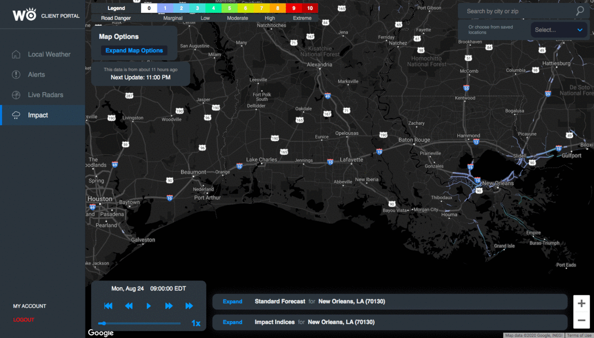
Road Danger Monday morning through Tuesday morning
The WeatherOptics proprietary Roads Index and Business Disruption Index both help visually capture and quantify these impacts. The Roads Index describes weather-based driving hazards and overall driving danger along roadways on a 1-10 scale, with increasing values denoting increasing driving risk. As noted in the above loop from our portal, the Roads Index reaches its maximum value of 10 in areas near Baton Rouge and Lafayette, LA early Tuesday under peak impact from Marco, indicating extreme road danger. Expect roads here to be completely impassible either due to fallen and/or falling trees and power-lines, the widespread presence of ground or airborne debris, or significant flooding. In the orange-shaded areas, Roads Index values of 6-8 denote severe difficulty driving. Roads will generally be passable, but scattered debris, ponding, strong winds, and low visibility from heavy rain may make driving difficult or dangerous. Overall, travel in the lower Mississippi River delta will be very difficult Monday afternoon through Monday night.

Road Danger Wednesday through Thursday
Roads look even worse on Wednesday from Laura, this time for areas near Lake Charles, LA and across the LA/TX border into Port Arthur and Beaumont, TX. Widespread Roads Conditions values of 9-10 suggest a complete halt to travel is likely early Thursday morning. Widespread fallen trees, strong winds, flying and ground-based debris, flooding, and low driving visibility will make driving extremely dangerous if not impossible, including along major thoroughfares like I-10. Residents are urged to stay inside away from windows and heed evacuation orders because it is unlikely emergency responders will be able to help during the height of Laura.
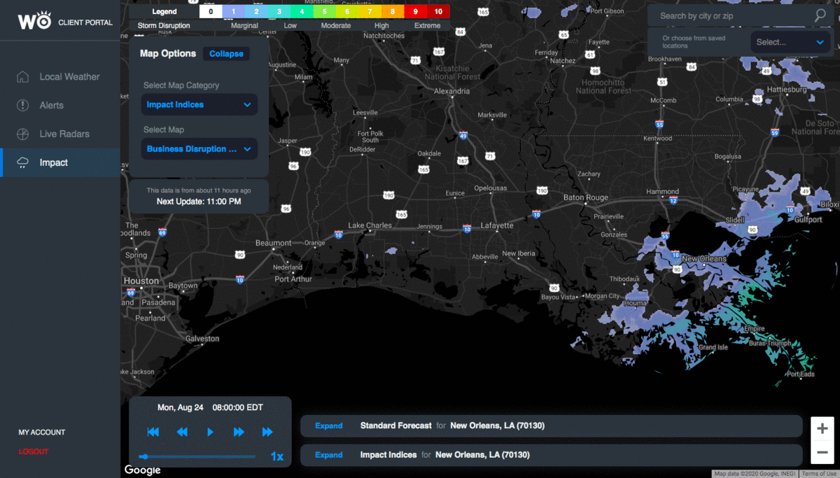
Business Disruption Index (storm severity) Monday to Tuesday
The severe impacts from the back-to-back hurricanes will likely be confined to Louisiana and eastern Texas. After making landfall Monday night, Marco will face a strong wall of high pressure and quickly disintegrate throughout the day Tuesday after producing scattered showers and thunderstorms across the Deep South and possibly, Tennessee Valley. Little, if any impacts, will be felt elsewhere.
Laura, too, will quickly weaken upon making landfall, but the weakness in the high pressure induced by Marco's remnants will give Laura an opportunity to deluge parts of the lower and middle Mississippi Valley and possibly, the Tennessee and/or Ohio Valleys late Wednesday and Thursday. Laura's could then interact with the northern jet stream and the former tropical cyclone's remnants could sweep across the Ohio Valley and Northeast through the end of the week, but this is highly uncertain.